Polar Air to Invade U.S., But Does It Reach Us?
By Kate Bilo
PHILADELPHIA (CBS) -- It's been all over the headlines - the Return of the Polar Vortex. It makes for a great talking point, for sure, but in reality the polar vortex is going to stay up in the polar regions where it belongs and where it stays. However, some of the arctic air from that region will indeed be hustled southward as a massive trough of low pressure takes over the eastern half of the country, and in many spots, especially the Northern Plains, daily high temperatures will be 20-30 degrees below average.
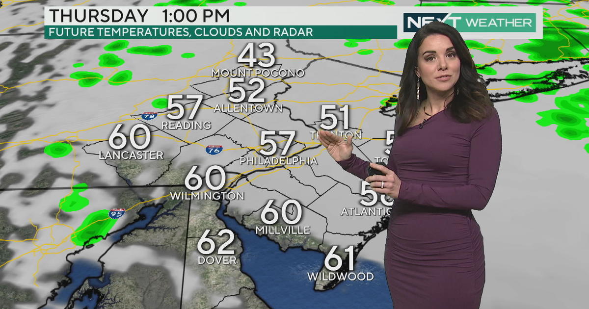
The cold will not be quite as pronounced for our area, however. Granted, by the time this chill reaches us Thursday or Friday, temperatures may average 10-15 degrees below normal for several days on end. But our averages in mid-November are still in the mid-50's, meaning we are looking at daytime highs in the low to mid 40's. Unseasonably cold, for sure, but certainly not comparable to the dangerous, widespread cold in January of last year.
In fact, the more worrisome part of this cold blast is what it signifies for the overall pattern heading into meteorological winter. We are seeing no break in this persistent pattern of strong cold fronts and waves of low pressure that develop along the boundaries and track along the eastern seaboard, and as the days grow shorter and colder, we increasingly have to worry about the threat for snow. In fact, one particular model continues to show the chance for a dusting of snow here on Friday and there are some even stronger storm signals for next week. If the pattern continues as such into the winter, that's when we'll have to worry about dangerous cold outbreaks from the polar regions and the threat for snowfall.
You may also be interested in these stories:


