Coastal Storm To Bring Rain To The Delaware Valley
By Geoff Bansen
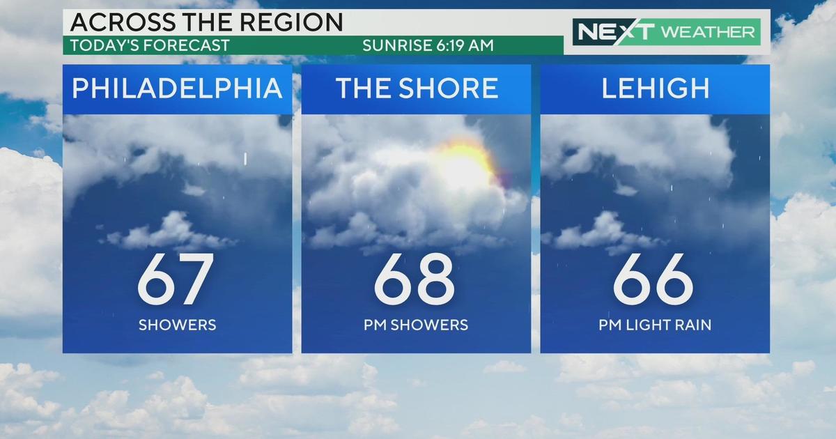
PHILADELPHIA (CBS) -- The beautiful early fall weather has been put on hold for a few days. The culprit? A strengthening coastal storm is nudging up the eastern seaboard, putting a damper on what would otherwise be a stellar week.
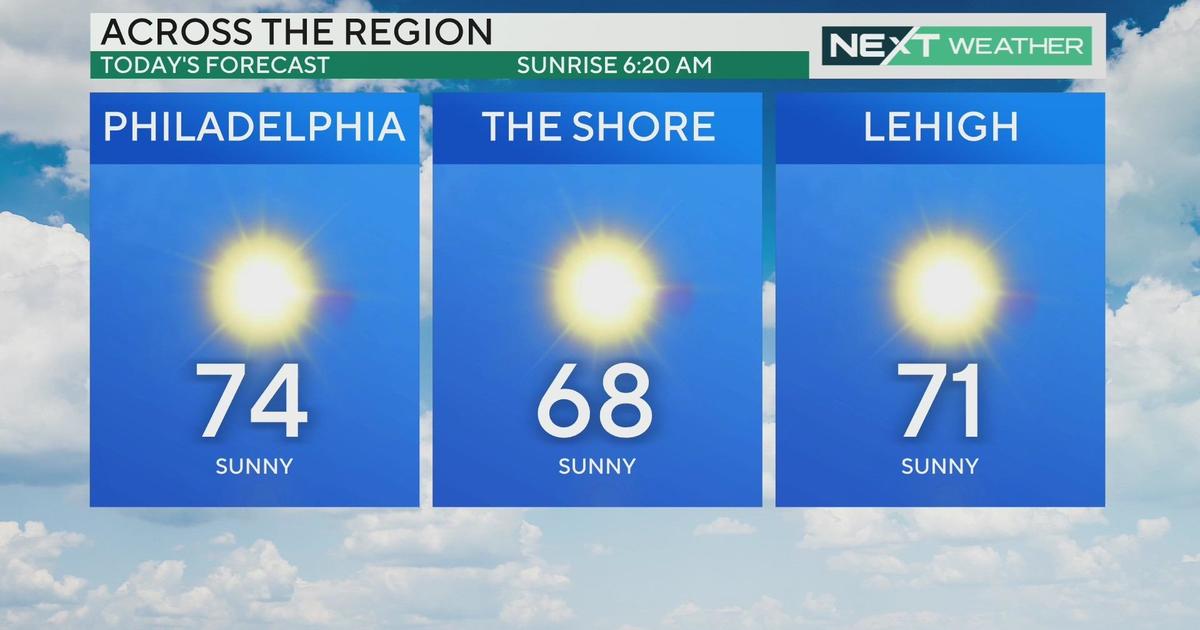
Clouds from the system have already begun to move in from the south, and they will continue to overspread much of the region today. The Poconos and points north will see a slight reprieve and will actually enjoy some early day sunshine before the clouds overtake their skies as well later this afternoon. Daytime highs will reach the mid 70s, average for this time of year.
The rain will begin as early as this evening in southern and coastal sections, and steadily move north from there overnight. The commute tomorrow morning is going to be a mess, so be sure to allow yourself extra travel time. The other impact from this rain-maker will also be the wind. It will be breezy inland as well, but downright gusty along the coast. Don't expect highs to break out of the 60s; it's going to be a chilly, damp, raw day.
The rain will taper off into Thursday night, with just some lingering showers around. On Friday, many places start off cloudy, but will eventually break into some sunshine. Temperatures will be on the rise as well, into the mid and upper 70s. Any clouds and rain will ultimately be suppressed back out to sea, and we have strong high pressure to thank. The weekend forecast remains dry and sunny, with much warmer temperatures. Timing certainly is everything!
Today's Highs:
Philly - 75
Shore - 72
Poconos – 65
On this day in weather history...
1882 - A great flood occurred in the NJ Raritan basin from heavy rains of the past days, but was said not to be equal to the flood of Feb 6, 1896.
1950 - A smoke pall from western Canada forest fires covered much of the eastern U.S. Daylight was reduced to nighttime darkness in parts of the Northeast. The color of the sun varied from pink to purple, blue, or lavender. Yellow to gray-tan was also common. This lasted for several days.
1985 - Tropical storm Henri formed north of the Bahamas and east of Florida. It moved straight north, winding up just southeast of Atlantic City. The storm then turned northeast, crossing Long Island just west of Montauk and dissipating in RI. Luckily, the rain shield did not extend to Philadelphia. Only three days later, Gloria moved up the east coast in a very similar path. It's interesting to note how an 'H' storm approached before a 'G'. This is because Gloria traveled thousands of miles from the eastern Atlantic, while Henri formed much closer to the United States.


