The First Day Of Fall Will Feel Like It
By Geoff Bansen
PHILADELPHIA (CBS) -- The first week of fall is shaping up to be a good one, with the exception of a midweek hiccup.
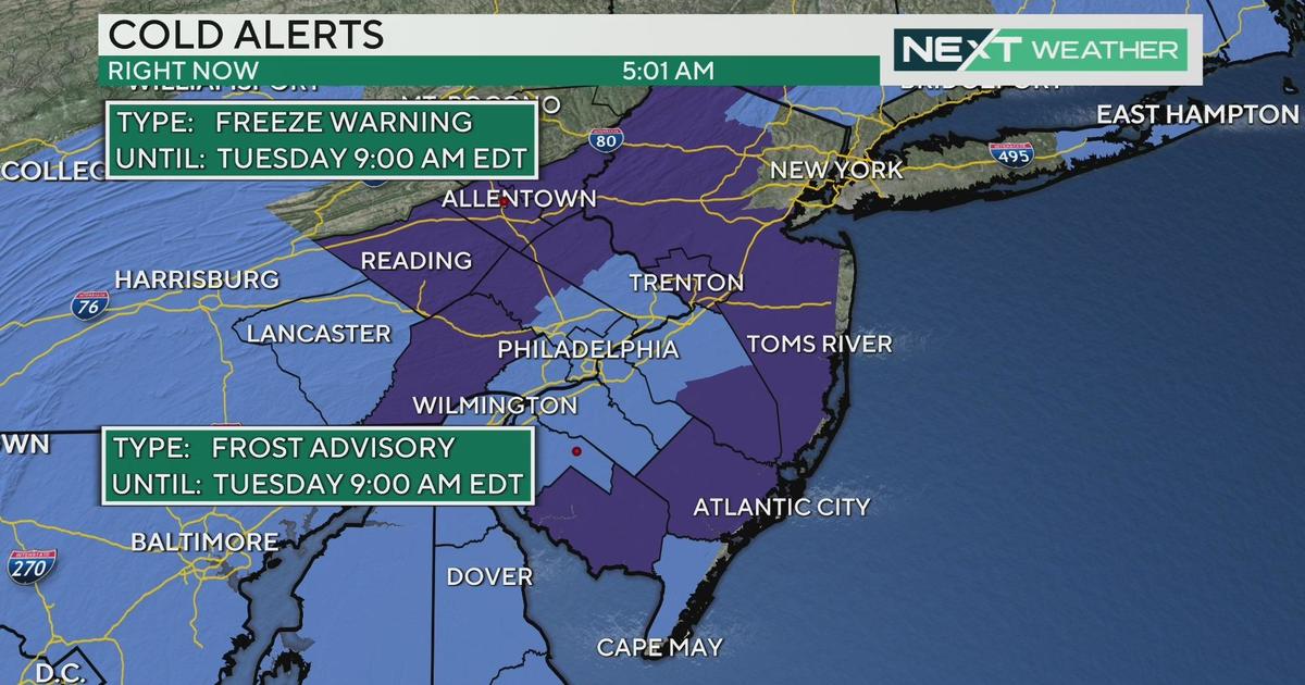
High pressure is building eastward in the wake of last night's cold front. Monday and Tuesday are going to be very similar; bright sunshine, a northwest breeze, and cooler temperatures. Highs will continue to run below average the first half of the week, slowly moderating a few degrees each day and rising back to normal and even above by the weekend.
WATCH: Kate Has The Monday Forecast
Fall begins tonight at 10:29 p.m. and overnight it is going to be borderline chilly! Expect low 50s in and around Philadelphia, with 40s in outlying areas and even upper 30s possible up in the Poconos!
On Wednesday, a disturbance riding up along the coast will usher in some clouds, and by Thursday a chance of rain is possible, mainly in areas further south and east. It will also make for windy conditions along the coast. This system will pull away later Thursday night, and more high pressure will build in for Friday through the weekend.
Don't forget, fall officially begins tonight at 10:29 PM, EDT. The scientific terminology for the seasonal transition to fall is the Autumnal Equinox. The word equinox is derived from the Latin aequus (equal) and nox (night). In addition to the days and nights being roughly equal, the vernal equinox is marked by the day where the suns rays are directly over the equator, providing equal amounts of sunlight for both the north and south hemispheres. This happens twice a year; once on the first day of autumn, and again on the first day of spring (Vernal Equinox).
Today's Highs:
Philly - 73 *occurred shortly after midnight, expect temperatures around 70 this afternoon
Shore - 72
Poconos - 56
On this day in weather history...
Yesterday marked the anniversary of two notable storms along the eastern United States. First is Hurricane Hugo, which made US landfall 25 years ago. Hugo formed over the eastern Atlantic near the Cape Verde Islands, then traveled thousands of miles westward across the Atlantic strengthening to a category 5 at one point. It then crossed over Guadeloupe and St. Croix as a category 4 hurricane as well as Puerto Rico as a strong category 3 hurricane, before eventually making landfall at Charleston, South Carolina late on September 21, 1989 as a category 4 hurricane with winds of 130 mph. Hurricane Hugo caused 34 fatalities in the Caribbean and 27 in South Carolina and at the time became the costliest storm in U.S. history (now the 11th).
Second is 1938 New England Hurricane, the "Long Island Express", which made landfall 76 years ago on Long Island as a category 3 hurricane, with winds of 120 mph. The storm killed over 600 people and still remains the second costliest storm in New England history behind Sandy. It's also the second most intense hurricane to strike New England in recorded history, only surpassed by the Great Colonial Hurricane of 1635.


