Weather: Threat Of Rain Increases As August Begins
By Steven Strouss
PHILADELPHIA (CBS) -- July 2014 proved to be an average month in Philadelphia with temperatures just slightly above normal and precipitation slightly below normal. The hottest temperature occurred on July 2 when the mercury shot up to 96 degrees during our 1st heat wave of the summer. As we head into August, the average temperature will fall from 87 on August 1st to 83 by the end of the month. By the end of September, the average high temperature will be in the low 70s.
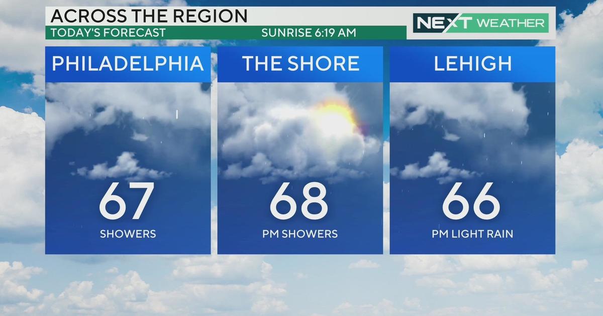
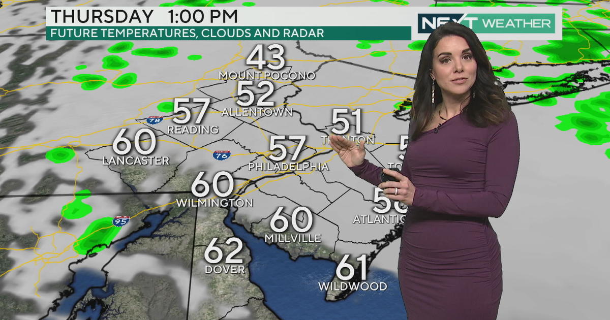
With that in mind, we are forecasting another comfortable night with lows in the 60s but clouds will be on the increase ahead of our next system. An offshore front will be pushed back toward the coast during the next 36 hours and this will increase our precipitation chances through the weekend. Scattered showers and thunderstorms can occur tomorrow afternoon but will become more numerous as we move into Saturday. An abundance of moisture will flow in from the south as our area gets squeezed between a cold front to our northwest and a warm front moving in from the ocean. Tropical moisture will add to the downpours and some areas may receive over 2" of rain by the end of the weekend. The exact timing and location of the heaviest rain is yet to be determined. Our computer models have disagreement but one thing is for sure and that is the weekend is looking wet. We will post much more about the weekend rain tomorrow but the good news is that the pattern will turn sunnier as we head into the middle of next week. High pressure will slide east by Tuesday bringing us more of a westerly flow allowing drier air to filter into the Delaware Valley. Temperatures will also rebound next week into the upper 80s.
We are also keeping an eye on the tropics. There is a tropical wave about 400 miles east of the Windward Islands producing winds up to 45 mph. If this system becomes better organized, which it is forecasted to do, it could become our 2nd named storm of the Atlantic season "Bertha". Since 2011 there have been four named storms through July 31st and this year we have yet to name our 2nd. The slow start and hopefully quiet 2014 hurricane season can be attributed to a developing El Nino pattern which typically causes strong wind shear over the Atlantic. In addition, cooler ocean temperatures, dry air and persistent trade winds have also limited tropical activity so far this season.
Steven
You may also be interested in:


