Weather: A Repeat Performance Tuesday
By Kathy Orr
PHILADELPHIA (CBS) -- A Flash Flood Watch continues through Tuesday evening for most of our area.
Monday's storms produced over 9,000 cloud to ground lightning strikes, damaging winds and flash floods.
Unfortunately, the threat of severe weather will return Tuesday.
Temperatures will be hot again Tuesday, 88 degrees, with high humidity.
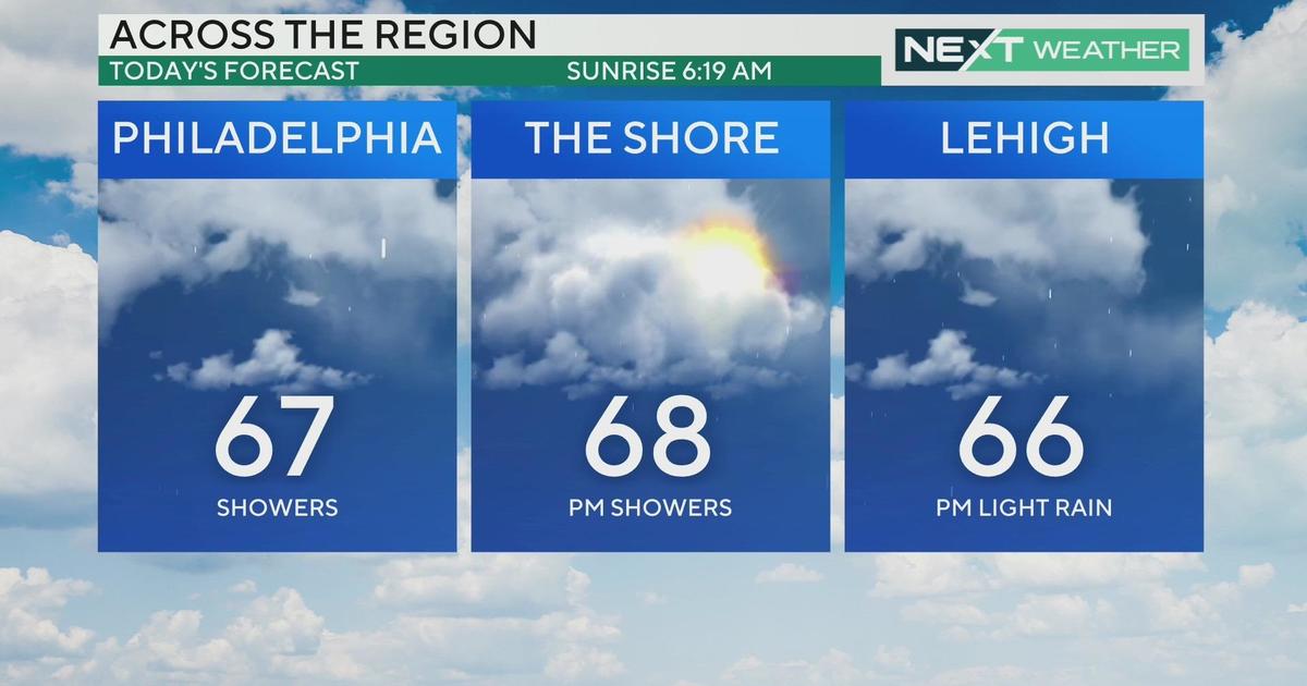
Skies will be mostly cloudy, with scattered showers and drenching thunderstorms.
WATCH: Kathy's Latest Weather Forecast
I expect the storms to fire up in the afternoon, some could be severe, with damaging winds and hail.
We may see more "Training Thunderstorms", that is when one thunderstorm after another, moves over the same area, creating Flash Floods.
The storms are from an approaching cold front. The front is associated with a deep trough over southern Canada, which will bring "cooler" air.
Once the front passes Wednesday morning, the atmosphere will dry out and high temperatures will be comfortable, in the low 80s.
Remember when you are away from CBS 3 or CBS3 Philly, you can check live local radar on our new CBS Philly Weather App.
You may also be interested in:


