A Cool Start, Then Warm Finish To The Week
By Justin Drabick
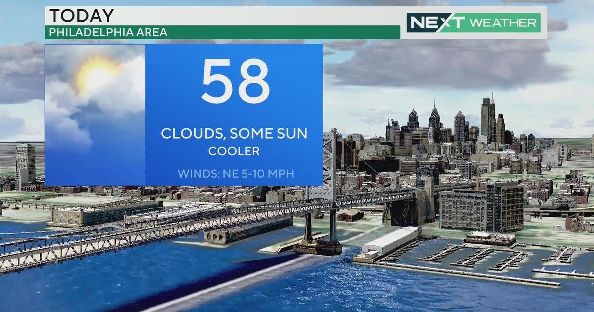
PHILADELPHIA (CBS) -- A cool and dry air mass has settled into the Delaware Valley today as a cold front moved though over the weekend.
Temperatures this morning started off in the 40s, then rebounding into the upper 60s with breezy conditions. A weak disturbance in the jet stream will pass by to our south tonight bringing some more clouds around.
Expect the pleasant conditions to continue on Tuesday with sunshine and highs still slightly below average in the upper 60s.
WATCH: Kate's Monday Forecast
A warmer air mass will approach the region on Wednesday as a warm front. Expect more clouds to increase on Wednesday ahead of the front, and the chance for some showers Wednesday night. Highs on Wednesday will be near average of around 70 degrees.
The warm front will push through the region on Thursday keeping a chance of a few showers with highs returning above average in the mid 70s. A large ridge in the jet stream will be placed over the East Coast late week. This will keep the warm air will remain in place on Friday and with enough sunshine, highs will make it to around 80 degrees.
The warm air mass hangs around for the weekend but a cold front will bring some shower chances both Saturday and Sunday.