Massive Storm Brings Midweek Flood Potential
By Katie Fehlinger
PHILADELPHIA (CBS) -- For the third day in a row, severe weather will affect parts of the Deep South from the same giant and slow-moving storm system. Some of that severe weather will likely extend as far north as the Great Lakes region.
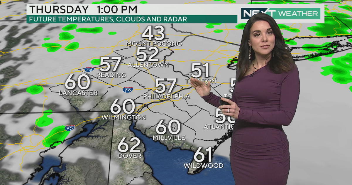
Meanwhile, the greater Philadelphia area is just outside the outlined severe weather threat zone Tuesday. However, we might hear a few rumbles of thunder Tuesday night, and there's a slim chance that some storms turn gusty and strong Wednesday.
WATCH: Kate's Tuesday Forecast
Despite the repeated bouts of severe storms elsewhere, soaking rain will be this storm's legacy in our area. While Tuesday features some showers (not to mention a raw, chilly wind!), Wednesday is still the wettest day of the forecast with Flood Watches taking effect that morning. Coastal Flood Advisories will also be posted through the southern half of New Jersey and all of Delaware.
Model guidance still has the Delaware Valley pegged for 2-3", possibly as much as 4" of rain in total. That kind of precipitation in a relatively short amount of time will easily clog storm drains and smaller creeks and streams.
Stay dry!
Katie


