WEATHER BLOG: Colder With Some Spring Snow
By Justin Drabick
PHILADELPHIA (CBS) - Another shift in the jet stream to the south has allowed a new supply of cold air to return to the Delaware Valley.
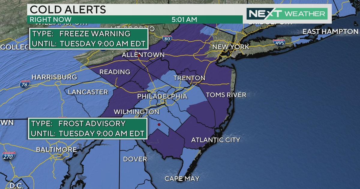
After reaching high temperatures near 70 on Saturday, afternoon temperatures were 10 degrees below average on Sunday in the mid 40s. It will be even colder on Monday despite sunny skies, as highs don't even get out of the 30s. Our temperatures will remain below average through Thursday before approaching to 60s again next weekend.
The next storm system will develop on Tuesday, as a disturbance from the Midwest phases with a southern disturbance. These two separate pieces will form a large low pressure systems during the day on Tuesday. As of now, the storm looks like it will be more of a New England storm with it forming slow enough and tracking far enough offshore to bring minor impacts to the Delaware Valley. As the storm intensifies Tuesday night, it will become a very strong Nor'easter for eastern New England.
Expect a mixture of rain & snow to arrive late morning/early afternoon on Tuesday as the Midwest disturbance moves into the region. Temperatures will be above freezing at the surface so some rain is possible and the daylight will make it harder for any snow to stick to the ground. As the sun sets, any rain/snow mix will become all snow and will have the chance to accumulate with the loss of the sun and temperatures dropping below freezing. The snow should begin to taper off just after midnight with sunshine returning for Wednesday.
There is the potential for 1-3" of snow across the region with the best chance of accumulating at night. However, the storm will not form until Tuesday so a slight shift in track or speed in formation could change snow amounts either way.
Justin Drabick


