MORE Snow In Store For Next Week?!
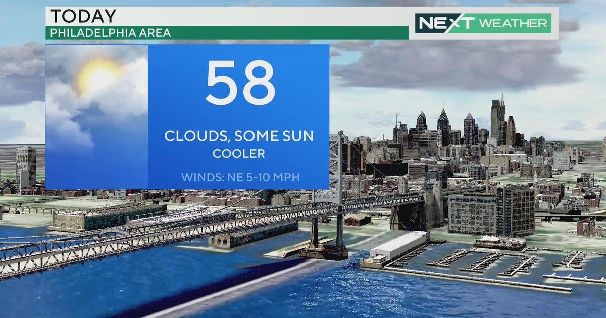
PHILADELPHIA (CBS) -- Spring has arrived in a nice way, with seasonable temperatures yesterday and today and a good deal of sunshine.
We'll start the weekend with even more warmth - out ahead of an advancing cold front, temperatures will surge into the 60s with a mix of clouds and sunshine. That cold front could touch off a stray shower here or there during the day, but it's moisture-starved and won't produce much.
However, big changes lie behind that front, and my advice is not to pack away the winter gear just yet! The high temperature on Sunday will be almost twenty degrees lower than Saturday's, and Monday gets even colder with highs that don't make it out of the 30s!
Then, all the focus shifts to a potential coastal storm late Tuesday. I want to stress that there are a LOT of players on the field here, and some of them won't even come into sampling range until the weekend, so it's very early to make any predictions. The latest computer models all feature a major storm, but the worst of it is felt out over the open ocean (which begs the question - if a foot of snow falls out over the Atlantic where nobody sees it and it melts on contact, does it really fall at all? I digress.).
Any number of things would need to fall into place and align perfectly for this storm to form into a major nor'easter bringing heavy snow to the I-95 corridor. This is still a possibility, but as of right now, it looks as though the most likely scenario keeps the worst of the storm offshore, with a brush of snow along the coast especially and lighter amounts inland. As we head through the weekend and the elements come together more distinctly, we'll continue to update out forecasts.
For now, enjoy the nice warm start to the weekend…but prepare for a snap back to winter early next week!
Kate