Fast Jump To Spring
By Carol Erickson
PHILADELPHIA (CBS) -- As winter snow melts on the ground, the atmosphere overhead is acting like it's springtime!
A TORNADO WATCH HAS BEEN CANCELLED FOR OUR AREA.
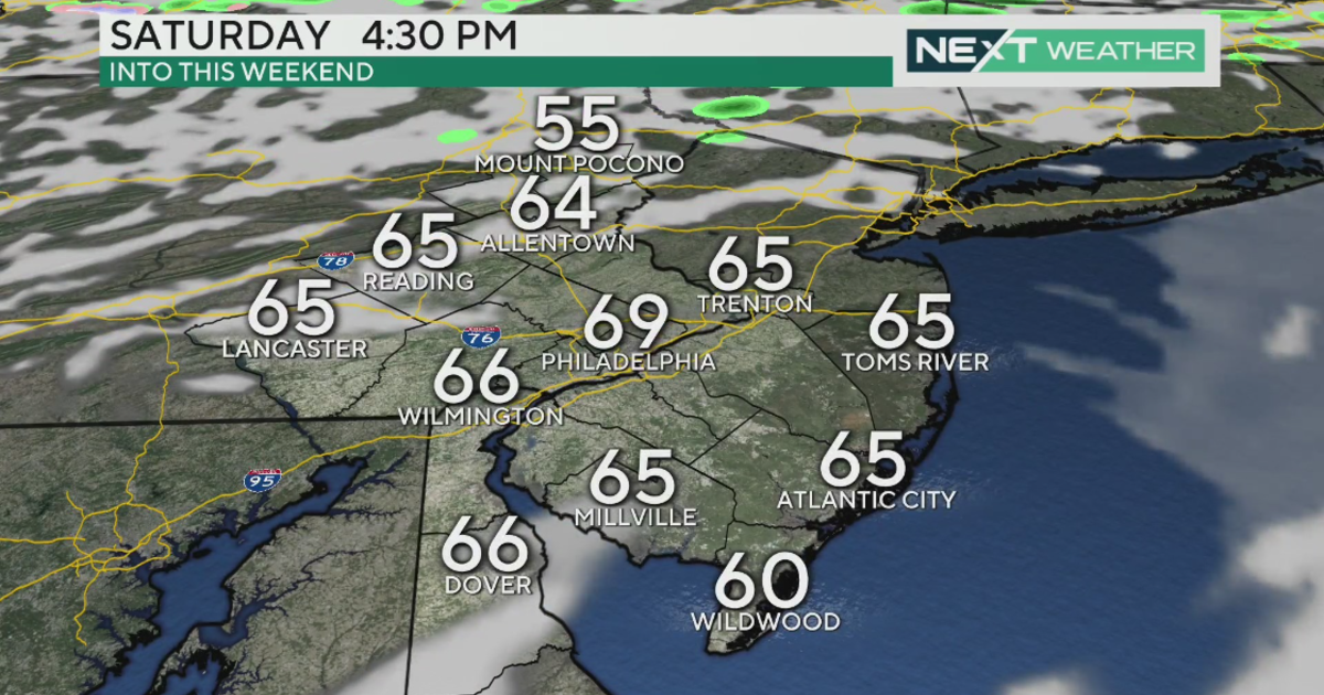
A warm front boosted temperatures into the lower 60's this afternoon, and brought lingering fog and the severe weather threat. Winds reached 40 mph in parts of the area and they will subside as we head into this evening, following the passage of a cold front. The good news in all this is the timing of the exit for these storms. They should be off the coast by 5 pm and heading east.
Then listen to the storm drains gurgle. The snow pack will take today's rain and warmth very hard, meaning it will soften up and start to disappear down drains or into ponds, lakes, creeks, rivers, streets or your basement. As townships clear storm drains, check your own sump pumps to make sure they work.
A FLOOD WATCH REMAINS PLACE TODAY ALONG THE INTERSTATE 95 CORRIDOR AND ADJACENT COUNTIES.
By tomorrow the weather changes dramatically again. Temperatures remain mild, in the 50's, and it will be dry this weekend, perfect to get rid of the rest of the snow and find items lost for weeks in your yard.
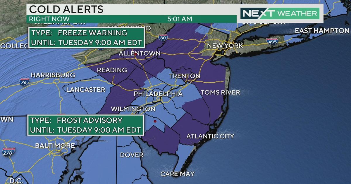
Sunday afternoon might have a rain shower, but temperatures reach 50 degrees. Then the cold returns next week with a chance of some snow on Tuesday and/or Wednesday (the way it looks now.)
This winter has to end – even when it disguises itself like spring.