Enjoy The Warmth, But Not For Long
By Kate Bilo
PHILADELPHIA (CBS) -- Warm air made a spring-like grand entrance back into the area today with a band of heavy rain and thunderstorms. Some of us (myself included) heard one of the loudest rumbles of thunder we can remember, and social media lit up with mentions of the "thunderquake". Often in winter you have a temperature inversion in the atmosphere which traps the sound of cloud-to-ground lightning and causes it to be louder and more widely heard. That was the case this morning!
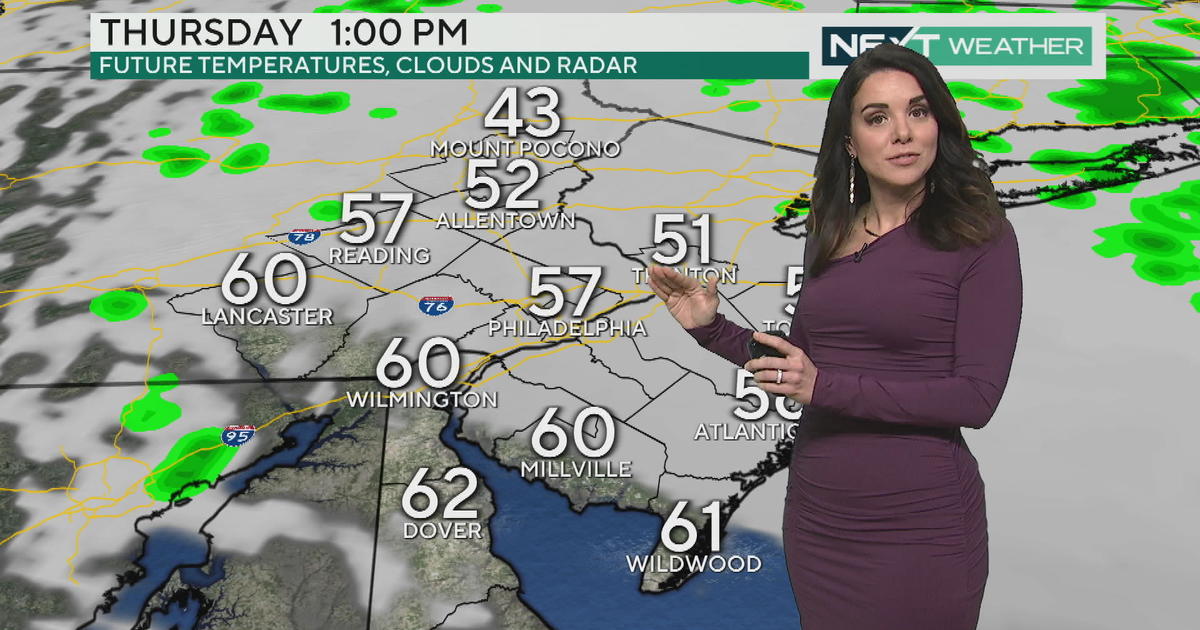
A few notes to consider during the warm-up the next couple of days:
-warm air moving over a snowpack will cause advection fog. Be especially careful in the morning when fog will be most dense over the next couple of days.
-overnight lows, at least tomorrow and again Saturday night, will be below freezing. This will cause a re-freeze in any wet areas, including puddles created by snow melt and below gutters dripping with melting snow. Watch where you walk!
-there is still a lot of snow on the ground and it will be melting over the next several days. While we don't expect a major flood threat, it may be a good idea to make sure sump pumps are in good working order as the ground will become quite saturated.
The warmth lasts through most of the weekend and then the bottom falls out again. A shot of cold air will return by Monday, and then a reinforcing shot arrives by midweek, and we'll end February on a very chilly note.
The European model has been pretty consistent on a couple of features - one is a light band of snow showers that crosses the area overnight Sunday night into Monday morning. Most of us will sleep through this, but if it happens, some spots could wake up to a dusting Monday morning.
Also, we are keeping a close eye on the middle of next week. The Euro has been signaling the potential for a storm to move offshore, giving us at least a glancing blow of snow on Wednesday. A few other models have the ingredients showing up, but not much organization. While it's too early to determine exact impacts, it definitely looks like Tuesday-Wednesday of next week will be a brutal return to reality, in the form of very cold air and at least the chance for a little more snow.


