Light Snow, Then A Warm Up
By Katie Fehlinger
PHILADELPHIA(CBS) -- The Presidents' Day chill will set the stage for yet another round of snow into Tuesday morning.
A new system (our 13th snowmaker of the season) will move in from the west generally after midnight, and linger through the Tuesday morning commute before retreating toward New England late morning. Snowfall totals still look very modest. We're expecting 1-3" at most in Philadelphia, the immediate vicinity, and points northwest. However, southern NJ and DE will likely see snow turn over to rain (possibly a little sleet), which would limit any snow accumulation.
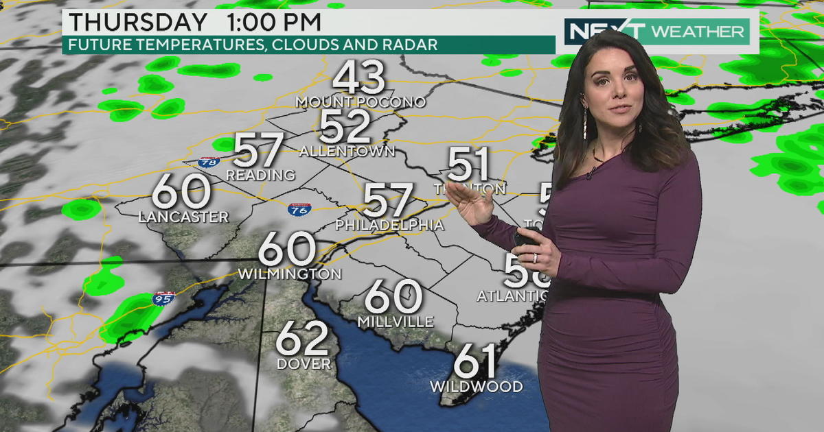
Beyond this nuisance snowfall, temperatures begin a nice uphill climb with a welcome pattern change for many of us. We're back to the seasonable mid-40's Tuesday. From Wednesday through the end of the week, daytime highs will warm above their average as they either approach or exceed the 50 degree mark. This stretch of warmth will help melt much of the thick snowpack still blanketing the Delaware Valley.
Just a heads up for the end of the week: we're awaiting the development of a new storm that would likely affect our region Friday. At this point, it looks like primarily a soaking rainmaker with embedded thunderstorms.
It's amazing that the 50's could sound so mild...enjoy the break from the brutal winter weather!
Katie


