Tied For 3rd Snowiest Winter
By Justin Drabick
PHILADELPHIA (CBS) --- Our latest round of snow has ended with amounts ending up as expected around 1-3". Areas in the Poconos ended up with 3-6"+ amounts of fresh snow, which is great news if you have plans to go skiing or riding this holiday weekend.
Officially in Philadelphia, 0.6" was recorded, which puts us at 55.4" for the season and ties us for the number 3 spot for snowiest winters. The #2 spot is 65.5" which was in the winter of 1995-1996.
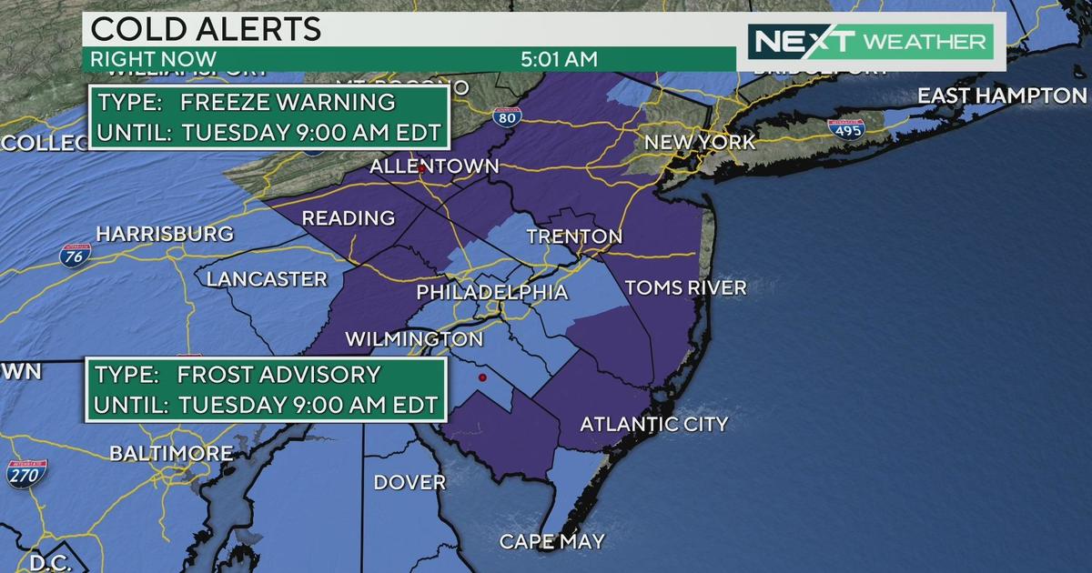
Temperatures on Saturday were mainly at or above freezing so most accumulation was on untreated surfaces. However, as the storm system continues to intensify off the Northeast coast tonight, colder air will filter in with lows in the teens and 20s.
Beware of possible black ice overnight into Sunday morning on area roads. A blast of cold air will settle in for the rest of the holiday weekend with highs only around 30 degrees both on Sunday and Presidents' Day, about 15 degrees below average.
There are signs of a pattern change that will allow some milder temperatures next week. As the pattern begins to change, another disturbance will move through early Tuesday morning.
There will still be enough cold air in place to support another round of some snow early Tuesday morning, possibly mixing with rain with temperatures into the low 40s in the afternoon.
A milder air mass will continue to build in with highs in the 40s & 50s Wednesday through Friday, along with some rain chances.


