WEATHER BLOG: Not Again!
By Carol Erickson
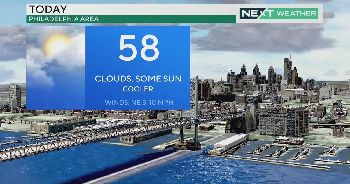
PHILADELPHIA (CBS) -- Yes, again, just as our portly Punxsutawney Phil predicted, more winter ahead, but not today.
Some melting gets underway on Sunday as the temperatures climb close to 50 degrees in advance of the next weather system. That colder one arrives overnight and through the day on Monday.
Winter storm watches, which will turn into warnings closer to the event, already stretch up and down the I-95 corridor and to the counties left and right of that in Pennsylvania and New Jersey.
Expect precipitation to start as some rain, especially south overnight, with snow and sleet following quickly as the column of air above the ground begins to cool. The National Weather Service pegs the amounts at 4 to 6 inches, but anywhere from less than 3 inches of snow south to perhaps an isolated 6+ inches could occur.
Monday morning's commute won't be pleasant, so make sure you either stay off the roads or have your car insurance paid up.
The system exits by later in the day on Monday, and the temperatures will be chilling down on Monday night. This will be another snow event to help your neighbors and to make sure everyone does the right thing by their pets and brings them into a warm house.
Tuesday looks dry before another weather maker comes in late Tuesday and Wednesday. That one looks to start as rain or freezing rain north and west with some snow to the north of that before a change to rain on Wednesday.
Let's not even talk about the weekend of February 8-9, when one model hints at another storm, but a different computer model keeps it dry around here. I am hoping for the dry solution, and after shoveling Monday's wet heavy snow, you might be too.