5th Snowiest January Expected To Climb Into 4th Saturday
January 2014 has already made it into weather history as the 5th snowiest January in Philadelphia with 22.5" of snow at it could climb even higher Saturday with more accumulating snow!
A fast-moving Clipper System will send a Snow Squall or burst of snow across our area Saturday.
The snow will arrive between 11am-1pm along the I-95 corridor, and last 2 to 3 hours.
The snow will start to accumulate immediately. Winds will be gusting to 35mph, so visibility will be reduced quickly to less than ½ mile at times.
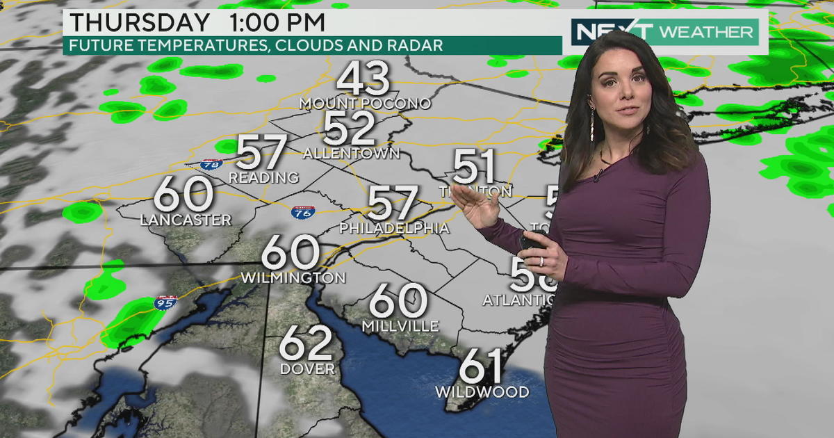
Expect 1-3" to fall in Philadelphia and its nearby suburbs, with 3-5 inches of snow possible in the Lehigh Valley and Poconos.
A second, weaker, band of snow will move across the area in the evening, between 7pm-9pm. Little additional snow accumulation is expected.
On Sunday, skies will be Partly Sunny with colder temperatures. The high only 23 degrees.
Another, weaker, Clipper arrives Monday, with a chance of snow showers and high temperatures above freezing!
In the wake of that, expect another FRIGID blast of Arctic Air.
Stay Warm & Safe. Have a great weekend!
Kathy


