Rain-Wise, July Picks Up Right Where June Left Off
By CBS 3 Weather Team
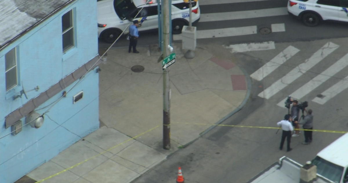
PHILADELPHIA (CBS) -- July has surged into the Delaware Valley right where June left off. The Philadelphia region is enduring relentless rain for a third consecutive week as tropical moisture streams up the US eastern seaboard.
Most of the Philadelphia region is now under a Flash Flood Watch, which extends until Tuesday Evening.
Last month, Philadelphia International Airport received 10.56 inches of rain, making it the wettest June of all time while drowning a 75-year-old record.
Rainfall is already three inches above the normal for the entire year and much more rain is expected before this stormy pattern finally breaks down later this week.
Due to the recent rainfall, the Brandywine, Rancocas and Neshaminy creeks among others are all running high and some waterways are approaching flood stage. Poor drainage areas and pockets of heavy rain on the order of 1-2 inches per hour are leading to numerous flood advisories across the region and some flood warnings are being issued as the threat continues.
If a flash flood warning is issued for your area, you should seek higher ground. Never drive or walk through flooded areas and avoid touching electrical equipment if you are wet.
The heaviest rain is expected through Tuesday before the blocking high sinks in and pushes the moisture farther away.
Although showers cannot be ruled later in the week, the soaking rains will subside and we will finally see some sunshine before the weekend.