BLOG: June Storms Into Delaware Valley With Extreme Weather
By: Steven Strouss
PHILADELPHIA (CBS) - June has stormed into the Delaware Valley with a Tropical Storm, record rainfall and a tornado which touched down just yesterday in Newark, DE. Since the beginning of the month, the region has experienced its most extreme weather since Hurricane Sandy slammed into our coastline last October.
During the first week of June, Tropical Storm Andrea quickly formed and spun up the East coast dumping as much as five inches of rain in spots. Our area was hit hard on Friday by Andrea's relentless downpours and gusty winds. The storm proved to be a problem before the storm ever arrived. Flight delays snarled passengers for hours from New York State to Florida and power outages were counted in the thousands up and down the U.S. East coast.
In our suburbs, the Brandywine, Chester and Neshaminy creeks among others could not handle all the runoff from Andrea's rains and quickly overflowed their banks. Poor drainage areas and low lying streets were closed off due to flooding and traveling on the roads became a traffic nightmare for some, as they head home, on Friday afternoon. Before all was said and done, Andrea dumped over three-and-a-half inches at the Philadelphia airport, which set a new record for daily rainfall on June 7th.
The flood waters barely had time to recede before another significant storm hit our area on Monday. A strong area of low pressure barreled out of the Midwest with enhanced moisture and drenched our area once again with several inches of rain. Flood Watches were posted for the second time in less than three days and as expected the susceptible waterways spilled out of their banks when the rain began. Rain from Monday's storms totaled 2.1 inches in Philadelphia and that was enough to break another daily record that stood for over one hundred years. The last time it rained so much on June 10th was back in 1903 when 2.08 inches of rain fell on the city.
The extra force of Monday's storms even led to the season's first confirmed tornado and 10-20 homes near Newark, Delaware sustained EF0 damage. Winds in the tornado were estimated to be 80 mph and this was enough to topple large trees and send debris flying for miles though the air. Several people in the Robscott Manor neighborhood had to abandon their homes yesterday but thankfully there were no injuries or fatalities.
Since the beginning of the month, we have received 6.79 inches of rain at the Philadelphia International Airport, currently making it the 10th wettest June of all-time (with over a half of the month still to go). Rainfall is already 5.57 inches above the normal, and the record for the month of June stands at 10.06 inches set back in 1938. If we continue on our current rainfall pace, it is highly likely that we will drown this record for good.
Before we get too comfortable with a break in the action today and tomorrow, our eyes are now turned to another large scale event expected on Thursday. The Storm Prediction Center has already placed part of the region in an enhanced risk for severe weather (primarily Philadelphia and south) and multiple weather models are indicating very heavy rain and strong thunderstorms. Any thunderstorm could contain damaging wind and hail and there is even the threat of an isolated weak tornado. No matter what exactly occurs Thursday, it is looking more and more concerning that the area will have to sustain another deluge from Mother Nature and this time the streets, creeks and rivers are even more vulnerable to flooding.
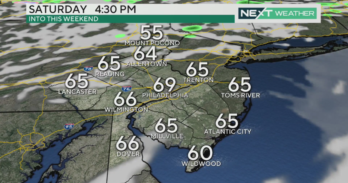
The heaviest rain is expected Thursday afternoon and evening before the front crosses the region and moves out to sea. Residual showers are forecasted on Friday before high pressure moves in and finally gives us sunshine for the weekend.


