Steamy & Stormy
By Steven Strouss
PHILADELPHIA (CBS) -- The excessive heat continues again for our region; we are in the middle of our fourth heat wave of the season. This also marks the 25th day of 90 degree heat in Philadelphia during 2012, and the second time this year that the mercury has soared to triple digits in the city.
As of this afternoon, the heat index had already reached 110 in Wildwood, 111 in Reading and 106 in Atlantic City. Several locations already broke or tied records, and the Excessive Heat Warning continues for our area until 6 a.m. Thursday.
In addition to the scorching heat, the region is also under a Severe Thunderstorm Watch until 9 p.m. tonight. The extreme heat and humidity will give way to severe thunderstorms throughout the remainder of this evening as a cold front marches down through the New England States and the Mid-Atlantic. Storms this afternoon and evening will bring frequent cloud-to-ground lightning, downpours with localized flash flooding, gusty winds, hail and even the threat for an isolated tornado.
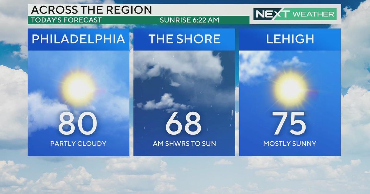
Most of the storms will clear after midnight, but it will remain cloudy and muggy. Thursday will bring clouds and sun, and it will not be as hot but still quite humid with a thunderstorm possible.
The heat wave will end Friday with big changes. We expect another low pressure to develop and bring more showers and storms to the area, but the high will only be in lower 80s. Saturday and Sunday look great, as sunshine returns and highs will once again be in the 80s.
But the nice weather will not last long. We are headed back into the 90s early next week.


