Blog: Dry Weather Ahead
By Justin Drabick
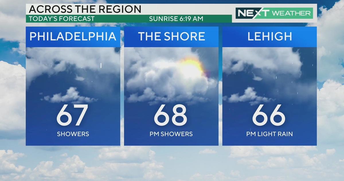
After a mild end to September with highs in the upper 70s, October started off with well-below average temperatures in the 60s and 50s. This is a result of an upper-level disturbance cut off from the main jet stream located right over the Delaware Valley. The disturbance contains a cold pocket of air, lots of clouds, and a few showers.
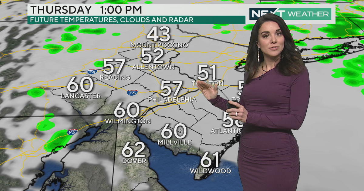
The jet stream won't pick this system up until Tuesday so the start of the work week remains unsettled. Expect more clouds, an occasional shower in some spots, and highs only in the 50s on Monday. Once the system begins to lift out on Tuesday, clouds should begin to break up and we will see increasing sunshine through the day.
After the system exits, the overall patter will shift to a dry pattern. A large high pressure system will park itself right over the mid-Atlantic for several days. This will allow for a long dry stretch of weather with plenty of sunshine.
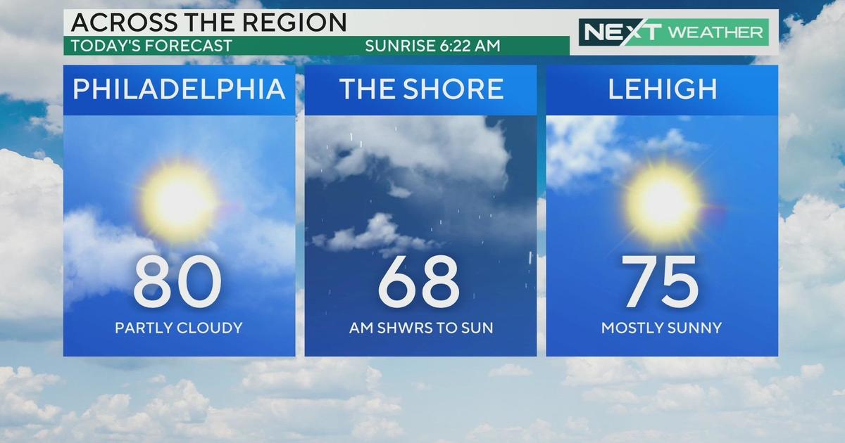
This is what we need so the ground can dry out. High temperatures return to near average in the upper 60s to low 70s and possibly mid 70s by next Sunday. Starting on Tuesday, I don't see a chance for any rain for at least a week. Have a great week!


