BLOG: Moderating Temperatures
By Justin Drabick
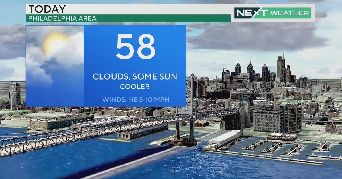
A fall-Like weather pattern has settled in across the Delaware Valley this weekend.
Starting on Friday, we have had three consecutive mornings with lows in the 50s and 40s in the coldest suburbs. This is not uncommon as we are in meteorological fall but astronomical fall officially begins this Friday at 5:04 am.
The cool spell was due to the jet stream taking a dive southward bringing a cold pocket of air down from Canada. This week, the jet stream will shift to the north again, allowing temperatures to moderate.
The average high temperatures this time of year is in the mid to upper 70s. We will still be just below average for Monday and Tuesday as highs make it into the low to mid 70s. Expect more sunshine on Monday but a weak disturbance will bring some clouds and shower chances on Tuesday. Now for the real warm-up, this will occur mid-week. Southerly winds combined with sunshine on Wednesday will allow temperatures to make a run for 80 degrees.
It remains warm again on Thursday, but an approaching cold front will bring the threat for some showers and a thunderstorm to the area. This may keep temperatures from reaching 80 if we don't get enough sunshine.
Behind the front, we see another cool-down, but not as drastic as the last. The front should slide through the area early on Friday, still providing a chance of showers. Highs will drop back into the mid 70s. Right now, the weekend looks dry with sunshine and highs in the low to mid 70s as we head into astronomical fall.
Have a great week!