Irene Watch: Latest Track & Potential Impact On Philadelphia Region
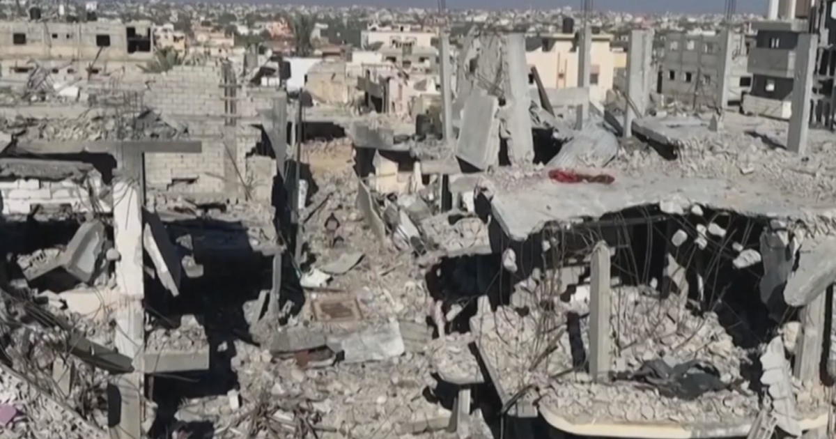
PHILADELPHIA (CBS) -- Irene is now officially a major hurricane, having attained Category 3 status just before 8 a.m. Wednesday morning, with sustained winds reaching 115 mph. Irene is currently moving through the islands of the Bahamas, bringing 6-12" of rainfall with local 20" amounts, as well as significant wind damage and surf levels at least five to eight feet above normal.
The question on everybody's mind is: what will Irene do after this?
The answer is simple and complicated all at once. The simple answer: Irene will track along the Eastern Seaboard of the United States. The complexity begins when we start to examine the exact path of the storm, how much land interaction there will be, and what the potential impacts are for our area.
VIEW: Hurricane Irene Latest Data
VIEW: Hurricane Tracker
VIEW: Latest Weather
VIEW: Live Radar
The good news this Wednesday is that, continuing the pattern from yesterday, the computer models continue to shift Irene to the east, favoring a slightly more out-to-sea model. If the eye of the hurricane stays out to sea when the storm passes by New Jersey, which it looks like it will, the full wrath of Irene will not be felt in our area.
Remember that when you're looking at an approaching hurricane, the right front quadrant of the storm relative to its motion is the area with the strongest winds and heaviest rain. If the storm tracks due north off the coast, that particular quadrant would be out to sea during the storm's closest passage to New Jersey. This would mean that the hardest hit area could be Southern New England, the area that lies just to the north and east of the path of Irene's eye.
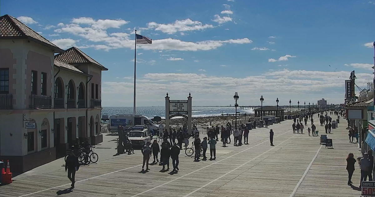
However, a Category 2 storm ripping up the coast of New Jersey is never a good thing, and if the storm makes a close enough approach, we could feel some of its full impacts. I think the shore points need to prepare for hurricane-strength wind gusts, four plus inches of rainfall, battering waves and a storm surge. If the storm stays far enough offshore to not bring these impacts - well, still better safe than sorry.
As far as inland areas are concerned, an offshore track with a stronger storm means less in the way of rainfall, but perhaps stronger peripheral winds for the region. The track, as of now, is looking well east of where Floyd tracked, so if Irene stays on her current course, I don't think we're looking at a flood disaster in the city of Philadelphia.
But, the so-called "Cone of Uncertainty" exists for a reason. With the brunt of the storm still five days away for our area, we need to still take into account the possibility of a more direct hit to the city and the bays, which, especially in a month that has already clocked 13 inches of rainfall, could lead to widespread flooding.
We will continue to monitor the storm's progress and continue to hope for an out-to-sea solution. However, anyone with interests down the shore (both New Jersey and Delaware), coastal Maryland, the Outer Banks of North Carolina, and eventually Southern New England and Long Island, should begin to set an emergency plan into place sooner rather than later.
Reported by Kate Bilo, CBS 3