BLOG: Sunday Flash Flooding
By Justin Drabick
A slow moving fall-like storm system continues to move out of the midwest. Out ahead of it, an area of very heavy rainfall developed last night and this morning and moved through Delaware and New Jersey.
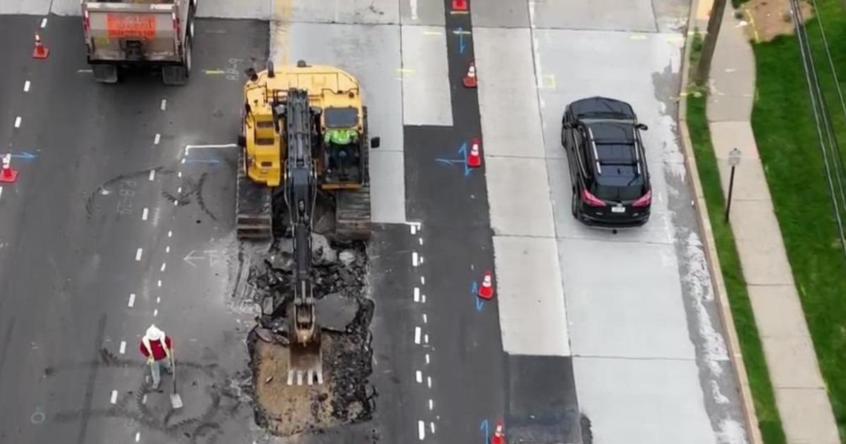
Rainfall rates of 1-2"+ per hour caused flash flooding in may areas. Flash flood warnings were issued for many counties across Delaware, New Jersey, Pennsylvania, and Maryland. The heavy rain combined with streams and creels overflowing their banks cause many travel problems in the roadways.
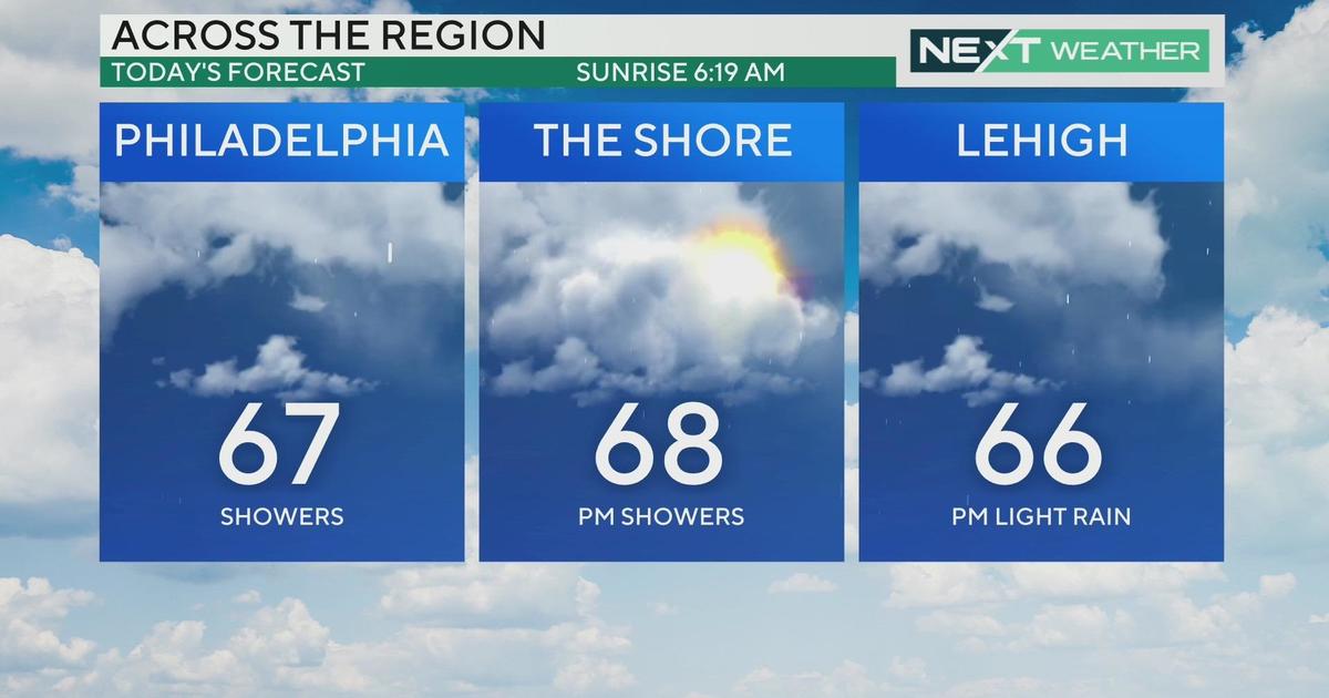
This evening, the radar look much better as the heavy rain continues to move northeast. Even though the rain has stopped for now and flash flood watch continues through late tonight and the runoff may cause more streams and creeks to flood. More showers continue across western PA along with the center of the storm. These showers will continue to head east and move in later tonight and on Monday.
Widespread heavy rain is not expected on Monday but there could be some heavier showers in some spots cause problems to already flooded areas. The upper-level portion of the storm will still linger over our area on Tuesday, allowing for another showers chance, especially in the afternoon. If you encounter a flooded roadway, do not drive through it. It only takes a foot of fast flowing water to move a car.
Rainfall amounts so far have been impressive from 3 to over 9" of rain. Parts of New Castle, Salem, Cumberland, and Atlantic counties have seen the most rain. As of now, Elmer, N.J. in Salem County tops the list with 9.64", that's amazing!! The storm system will takes its time moving out and will clear the area by Wednesday as sunny skies return. Have a great week!


