BLOG: Spring Storm Predictions
By Kate Bilo
Well, it may be spring, but yet another "winter" storm has us in its sights!
This one is different from a normal storm that delivers a big blow across the Delaware Valley - it's more of a clipper-type system than a coastal storm in that it's streaking down from the Great Lakes. But with temperatures at the onset of the precipitation hovering close to freezing, some places may see some of that dreaded white stuff before the rain takes over.
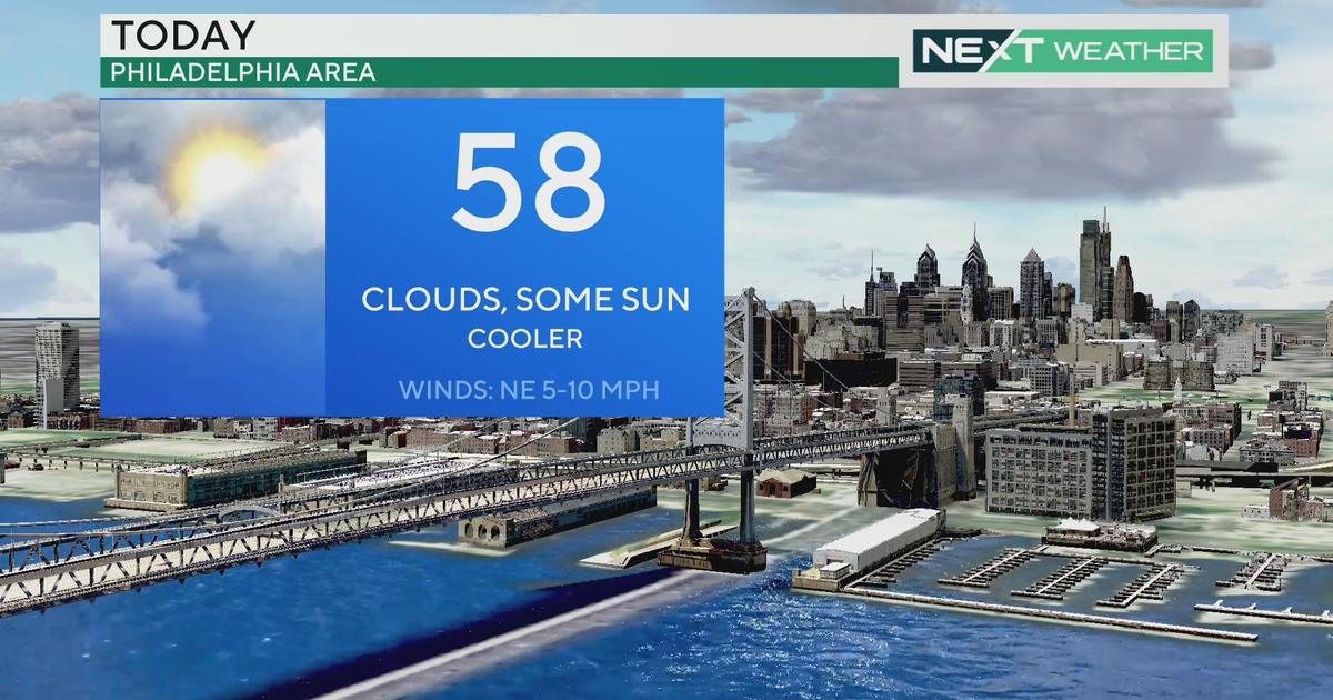
My current thinking is that the Poconos will do well, snowfall-wise, with this storm, with some of the higher elevations seeing as much as 6 or 7 inches of snow. It could mix with sleet at times, but may not ever change over to plain rain. I could see the Lehigh Valley checking in with a few wet inches at the beginning of the storm before it changes over to sleet and cold rain, and even here in Philadelphia, I think it will start as a mix with just maybe a slushy coating here and there before a quick changeover to all rain. It will be a cold rain, though, with daytime temperatures no higher than the middle 40's.
One more thing to watch is the end of the storm. Thursday morning temperatures will be at or below freezing, and the storm could end as a brief shot of wet snow across much of the viewing area.
This storm will also usher in a much colder temperature range than we've been enjoying for the past couple of weeks. Through the weekend, daytime highs are expected to rise no higher than the middle 40s, and there's another chance at a rain/snow mix event on Saturday night into Sunday morning.
If you remember correctly, March came in like a lamb. Unfortunately, it looks like it's going OUT like a lion!


